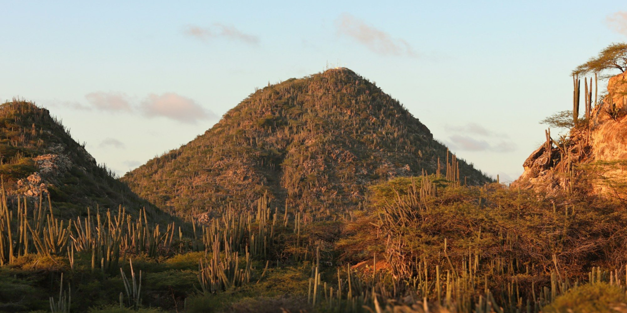
Hiking in Aruba is a different experience from a day on the beach. The landscape is a dry, rocky interior of cactus and boulders, with steep hills that look out over the wild north coast. You won’t find long mountain treks here. What you will find are short climbs, ranger-led walks in Arikok National Park and rock scrambles you can finish before lunch. This guide covers the main hikes, the park fee and hours, the best time of day to go, and how to handle the heat.
Hiking Aruba: quick answer
- Best-known climb: Hooiberg, a 165 m (541 ft) hill in the center of the island with a staircase to the top.
- Best trail area: Arikok National Park, about 34 square kilometers in the northeast of the island.
- Park fee: USD 22 per adult, free for under-17s (as of October 2026, per the Aruba Conservation Foundation).
- Visitor center hours: San Fuego, daily 8:00 a.m.–3:30 p.m.
- Best time: early morning. ACF’s ranger-led hikes start at 7:00 or 8:00 a.m.
- Bring: lots of water, a wide-brimmed hat and sturdy shoes. Shade is scarce.
What hiking in Aruba is really like
Aruba is small. It’s about 32 km (20 miles) long and 10 km (6 miles) across at its widest point, according to Wikipedia. Its highest point, Jamanota, reaches 188 m (617 ft). That means most hikes take a few hours at most. The challenge comes from heat, loose rock and steep pitches, not distance.
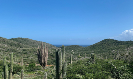
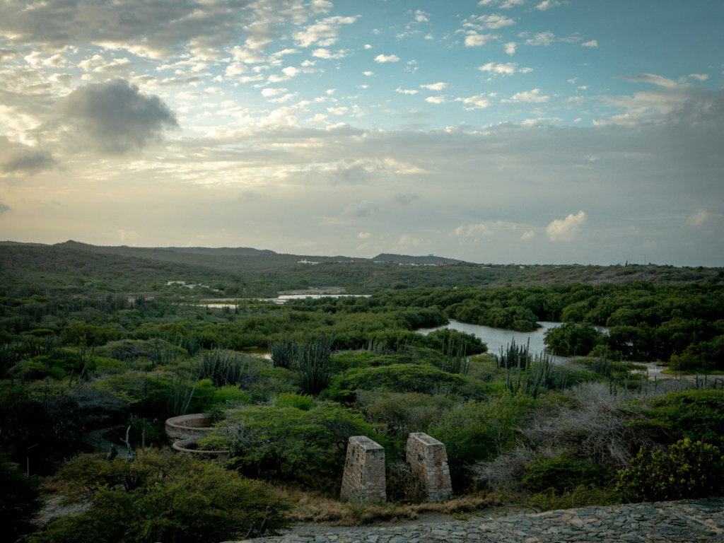
The scenery is high desert by the sea. Frommer’s points out that Arikok’s trails take in old gold-mine ruins, caves and coastal bluffs. Expect cactus, boulders, parakeets and lizards rather than shade. The temperature barely changes during the year. The official climate page lists monthly temperatures from 82°F (28°C) in January to 88°F (31°C) in August and September.
Hooiberg: the classic Aruba climb
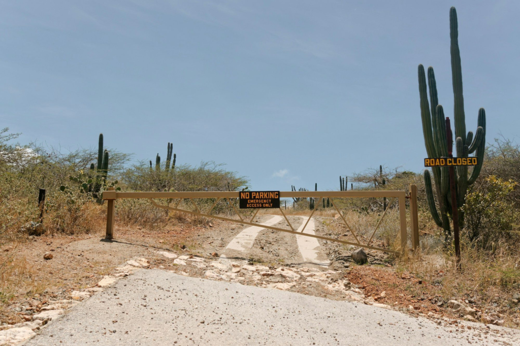
Hooiberg is the steep, cone-shaped hill in the middle of the island, in the Santa Cruz area. Wikipedia gives its height as 165 m (541 ft). A staircase built in 1951 runs to the top. It was once said to have about 900 steps, but a 2022 count found about 587. The Aruba Tourism Authority rounds it to about 600.
The stairs are steep, but you don’t need any special gear or skill, and you can stop at any point. From the summit you’ll see across much of the island. On the way up, look for wild goats, parakeets and lizards. Go early, because the staircase is completely exposed to the sun.
Hiking in Arikok National Park
Arikok is where you’ll find Aruba’s real trails. The park covers about 34 square kilometers in the northeast. The Aruba Conservation Foundation (ACF), which manages it, runs ranger-led hikes. Wikipedia notes the park was established in 2000. Frommer’s describes its routes as clearly marked.
Ranger-led hikes
Here are the guided hikes ACF listed as of October 2026. Groups have a maximum of 10 people, and you book by emailing the reservations address on its experiences page.
| Hike | Distance | Time | Start | Level | Fee* |
|---|---|---|---|---|---|
| Miralamar | 2 km (1.2 mi) | 1.5 hr | 8:00 a.m. | Easy | $25 |
| Cunucu Arikok | 5 km (3.1 mi) | 1.5 hr | 8:00 a.m. | Easy | $25 |
| Jamanota Hill | 4.8 km (2.9 mi) | 2 hr | 8:00 a.m. | Hard | $25 |
| Rooi Tambu & Dos Playa | 7.5 km (4.6 mi) | 3.5 hr | 7:00 a.m. | Hard | $25 |
*As of October 2026, per acf.aw. ACF also posts one-off special hikes on its experiences page.
What you’ll pass on the trails
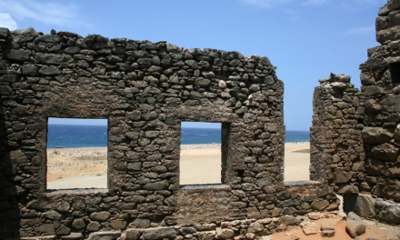
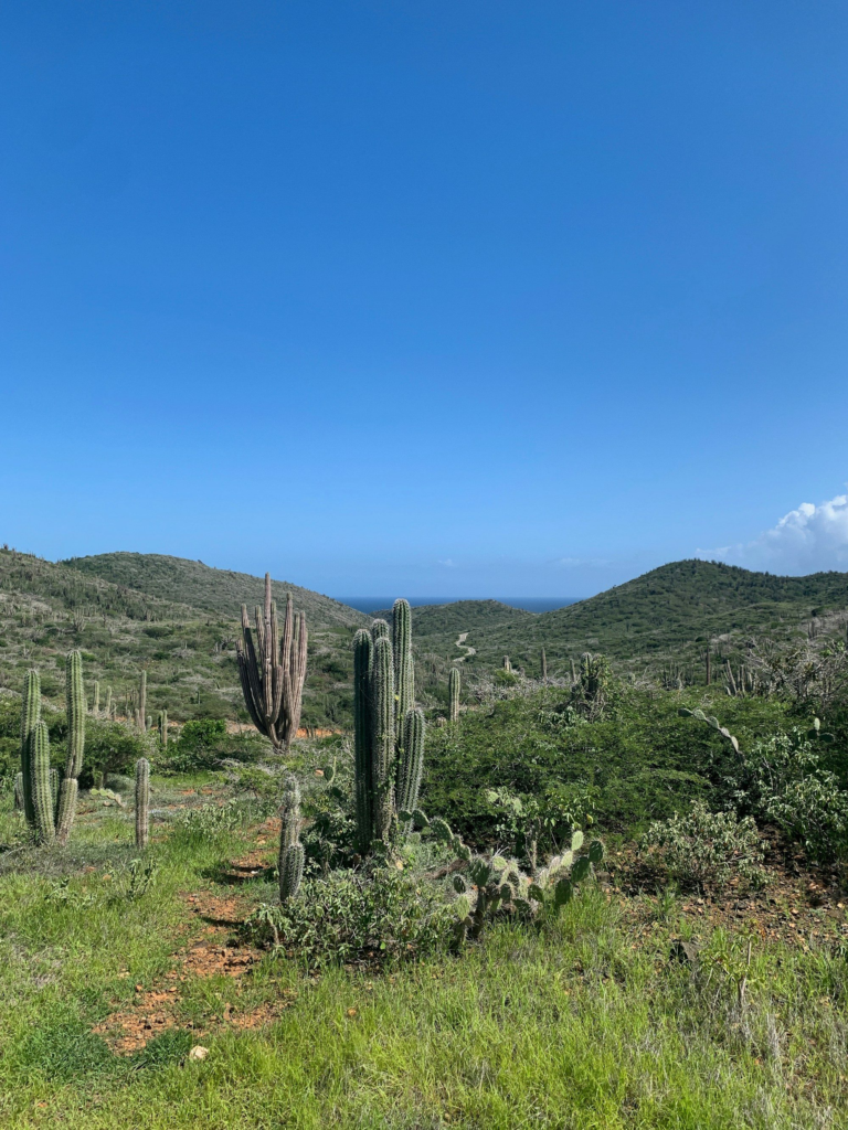
- Miralamar: the remains of gold mines that closed in 1916. Wikipedia says more than 20 quartz veins were mined in the area.
- Cunucu Arikok: a restored early farmstead with a traditional adobe house, cactus fences and stone walls.
- Jamanota: Aruba’s highest point at 188 m (617 ft). Lonely Planet notes that telecom equipment on the summit limits how far you can go.
- Dos Playa: a pair of coves on the north coast, carved by heavy surf. Lonely Planet says sea turtles nest there and swimming is forbidden.
The walk to the Natural Pool
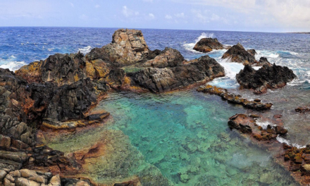
Conchi, the Natural Pool, is a rock-ringed pool on the north coast. You can reach it by 4×4 or on foot. Lonely Planet puts the walk at about 3.5 miles from the visitor center and warns that the trip is hot and windy, so set off early with plenty of water. The route goes over Sero Arikok, the island’s second-highest peak. Bring water shoes, because the rocks around the pool are sharp. Our Natural Pool guide has more detail.
If the round trip sounds like too much in the heat, a guided jeep tour can take you most of the way and still leave time to swim. UTVs and ATVs aren’t allowed inside the park, so for the Natural Pool it’s a 4×4, a jeep tour, horseback or your own feet. See our jeep vs. UTV comparison to pick the right tour for the rest of the island.
Short scrambles: Casibari and Ayo rock formations
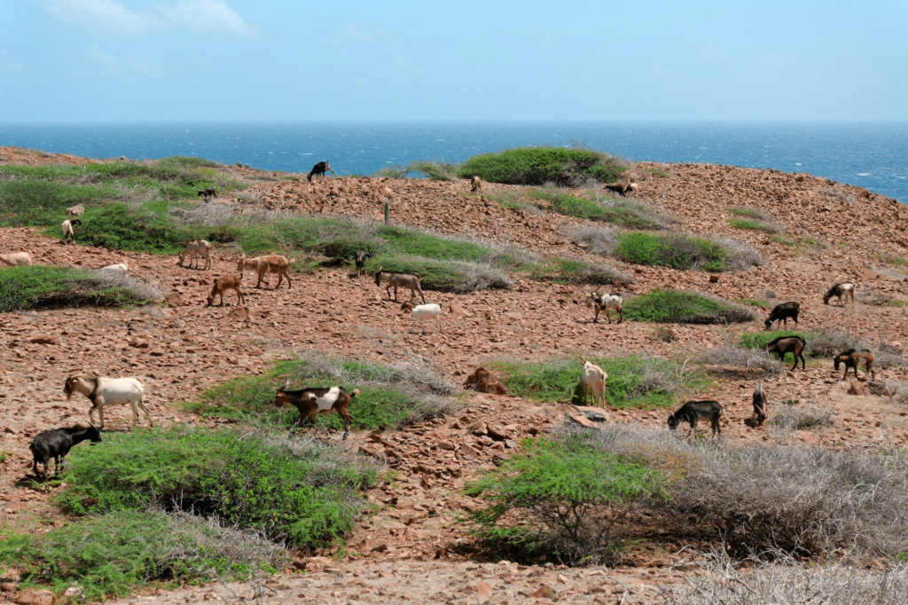
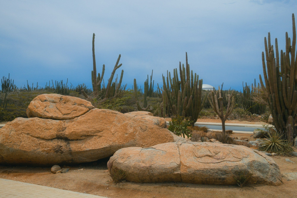
Want something shorter? Try the boulder fields in the middle of the island. At Casibari, just off the road to Santa Cruz, trails and carved stairways wind between huge boulders and lead to a viewpoint on top. There’s also a snack bar on site. About a mile east is Ayo. Lonely Planet describes its pathways between the rocks and its ancient Arawak petroglyphs. Both are short enough for most kids, and both combine easily with a full island tour.
Arikok fees, hours and rules
- Conservation pass: USD 22 per adult. Under-17s are free, and residents of Aruba, Bonaire and Curaçao get a discount with ID (as of October 2026, ACF). Passes are sold at the San Fuego visitor center and the Vader Piet booth.
- Hours: ACF lists the San Fuego Visitor Center as open daily 8:00 a.m.–3:30 p.m. The Vader Piet entrance closes at 3:00 p.m.
- Rules: according to ACF’s park rules, you need a valid pass, and dogs, cats and other domestic animals aren’t allowed. Drones are banned. So are disturbing or collecting plants, animals and objects, stacking rocks and littering. The speed limit is 20 km/h (12 mph), and vehicles must stay on park roads.
Our Arikok National Park guide covers the park’s beaches, caves and driving routes.
Best time to hike in Aruba
Time of day matters more than the month. Aruba is warm year-round, and the trails get little shade, so start as early as you can. ACF’s guided hikes begin at 7:00 or 8:00 a.m. Frommer’s also recommends mornings, when birds and other animals are most active.
By season: the official climate page says January to April is the dry season, and the October-to-December rains usually come as short showers. Whatever month you visit, hot, sunny mornings are the norm. For month-by-month detail, see the best time to visit Aruba.
Safety and packing tips
- Water and sun: Frommer’s warns that shade is scarce. Bring more water than you think you’ll need, plus a wide-brimmed hat and sunscreen.
- Shoes: hiking boots grip best on loose rock, but sturdy sneakers will do (Frommer’s).
- North coast water: Frommer’s strongly advises against swimming on the north coast because of dangerous currents. Lonely Planet says swimming is forbidden at east-coast beaches like Boca Prins and Dos Playa.
- Wildlife: don’t feed or disturb animals. The park is home to the endemic Aruba rattlesnake, so keep to the trails.
For a full gear list, see our Aruba packing list.
FAQ
How many steps does Hooiberg have?
About 587, according to a 2022 count cited on Wikipedia. Aruba’s tourism authority rounds it to about 600.
How much does it cost to hike in Arikok National Park?
As of October 2026, the conservation pass costs USD 22 per adult, and children under 17 are free. ACF’s ranger-led hikes are listed at $25 per person.
Can you hike in Arikok without a guide?
Yes. You need a conservation pass, and Frommer’s says the routes are clearly marked. A ranger-led hike adds local knowledge and a small group.
What is the highest point in Aruba?
Jamanota, at 188 m (617 ft). ACF runs a guided hike up it. Telecom equipment limits access to the very top.
What time does Arikok National Park open?
ACF lists the San Fuego visitor center as open daily from 8:00 a.m. to 3:30 p.m.
Can I bring my dog hiking in Arikok?
No. ACF’s park rules don’t allow dogs, cats or other domestic animals.
Sources
- Experiences – Aruba Conservation Foundation
- Parke Nacional Arikok Rules & Regulations – Aruba Conservation Foundation (PDF)
- Hooiberg – Aruba.com
- Casibari Rock Formations – Aruba.com
- Weather and Climate – Aruba.com
- Hooiberg – Wikipedia
- Arikok National Park – Wikipedia
- Aruba – Wikipedia
- Arikok National Park – Frommer’s
- Mt Jamanota – Lonely Planet
- Conchi Natural Pool – Lonely Planet
- Dos Playa – Lonely Planet
- Boca Prins – Lonely Planet
- Ayo Rock Formations – Lonely Planet
- Casibari Rock Formations – Lonely Planet
- Aruba rattlesnake – Wikipedia