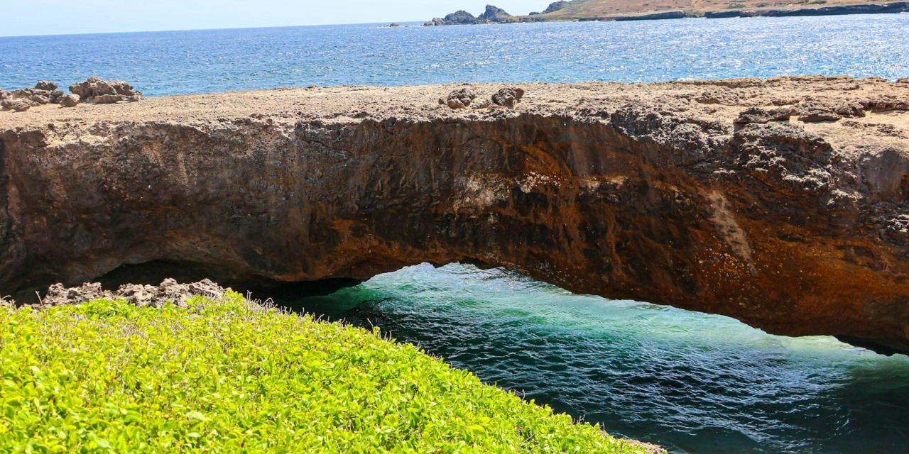
An Aruba island tour covers the island’s headline landmarks in one outing: a lighthouse on the northwest tip, a tiny yellow chapel on a hill, stone ruins from the gold-rush era, giant boulders, and a wild north coast pounded by surf. This guide goes through it stop by stop, in roughly the order most routes follow. For each stop you get what you’re looking at, a little history, and a practical tip, so the day means more than a string of photo stops.
Quick answer: what an Aruba island tour covers
- Typical stops: California Lighthouse, Alto Vista Chapel, Bushiribana gold mill ruins, the Natural Bridge area and Baby Bridge, the Casibari or Ayo rock formations, and often Hooiberg or a beach stop.
- Time: plan a half day for the northwest and north coast loop, or a full day if you add Arikok National Park or the south.
- Vehicle rules: ATVs, UTVs and motorbikes are prohibited in Arikok’s protected nature areas, so tours that enter the park use jeeps or 4×4 trucks.
- Bring: closed shoes for the rocks, a hat, water and reef-safe, oxybenzone-free sunscreen.
How an Aruba island tour is usually routed
Most of the landmarks sit in a loop across the northern half of the island. The hotel-lined west coast is on one side, and the rugged north and east coast is on the other. A common route starts at the hotels, heads up to the northwest tip, crosses to the north coast, and comes back through the interior past the rock formations. Routes vary by tour, so check the itinerary before you book.
There are three main ways to do it:
| Style | Best for | Trade-offs |
|---|---|---|
| Bus or van sightseeing tour | First-timers, cruise visitors, anyone who wants commentary | Fixed schedule; less time at each stop |
| Jeep or 4×4 tour | Adventure without driving yourself; can enter Arikok | Bumpy and dusty; may not suit people prone to motion sickness |
| UTV / buggy tour | Thrill-seekers who want to drive | Can’t enter Arikok’s protected areas; very dusty |
Still deciding? Our jeep vs UTV comparison goes deeper. If you plan to drive yourself, read getting around Aruba first. The north coast roads are a different experience from the hotel strip.
Stop 1: California Lighthouse
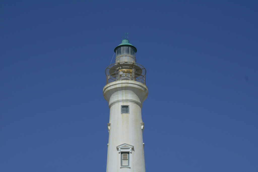
The first stop is usually the lighthouse on Aruba’s northwestern tip, in the area called Hudishibana. It takes its name from the steamship SS California, which was wrecked off Aruba in 1891. The lighthouse was completed in 1916, stands about 30 meters (98 feet) tall, and was designed by the French architect Léon Jean Marie Bourgeois. In May 2016 it was restored to mark its 100th anniversary.
Can you go up? Yes. Aruba’s tourism authority lists a $5 admission fee, no reservations required, with hours of 9:00 AM to 7:00 PM daily (as of October 2026). Frommer’s, in an undated listing, describes the tower as closed to the public, so check current status before you go. Even from the base, the view over the dunes and the coastline is worth the stop.
Stop 2: Alto Vista Chapel
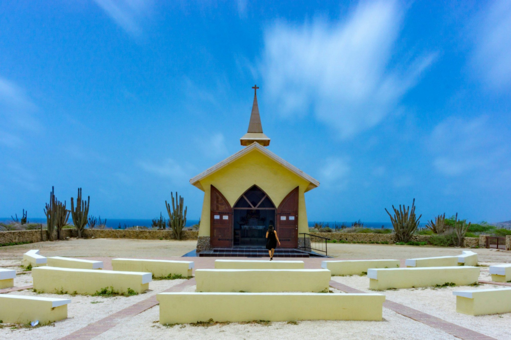
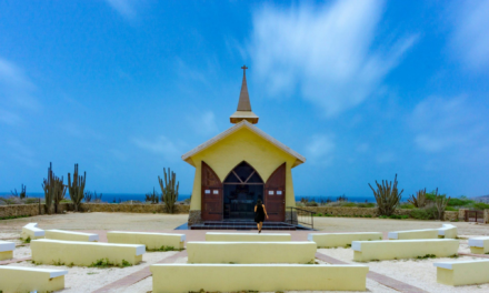
From the lighthouse, the road heads inland and uphill to Alto Vista Chapel, a small yellow church with wooden shutters and a tall white cross in front. The first chapel here dates to 1750. The building you see today was completed in 1952.
It’s still an active place of devotion. Locals come for religious events, and the annual pilgrimage on January 18, the Feast of Santa Filomena, draws many people. Visitors often leave small tokens like ribbons or pebbles. Keep your voice down inside and dress respectfully, with a cover-up over your swimsuit.
Stop 3: Bushiribana gold mill ruins
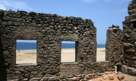
Next comes the north coast and the stone ruins of the Bushiribana gold mill. Aruba’s gold rush began in 1824, and mining continued until 1916, according to Aruba’s tourism authority. The Bushiribana smelter was built by the Aruba Island Gold Mining Company and operated for only about ten years.
Today the windswept walls stand on bare ground near the sea, and they make a dramatic backdrop. VisitAruba notes that walking through the ruins was allowed until recently, so access may have changed. Follow any signs on site. No admission fee is listed.
Stop 4: The north coast and the Natural Bridge area
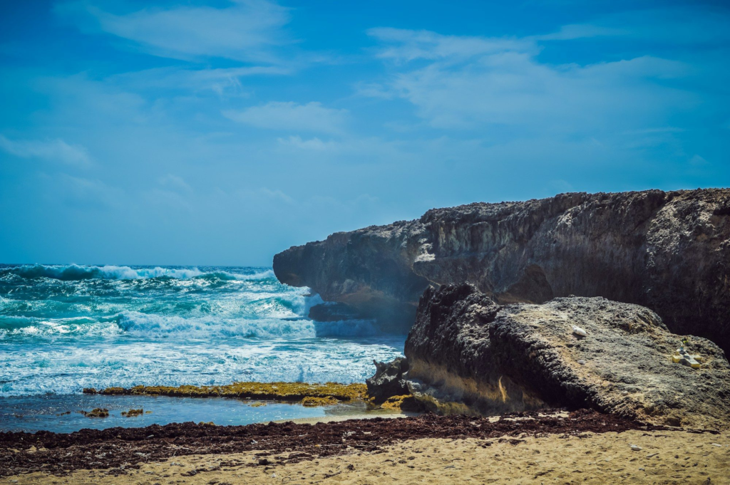
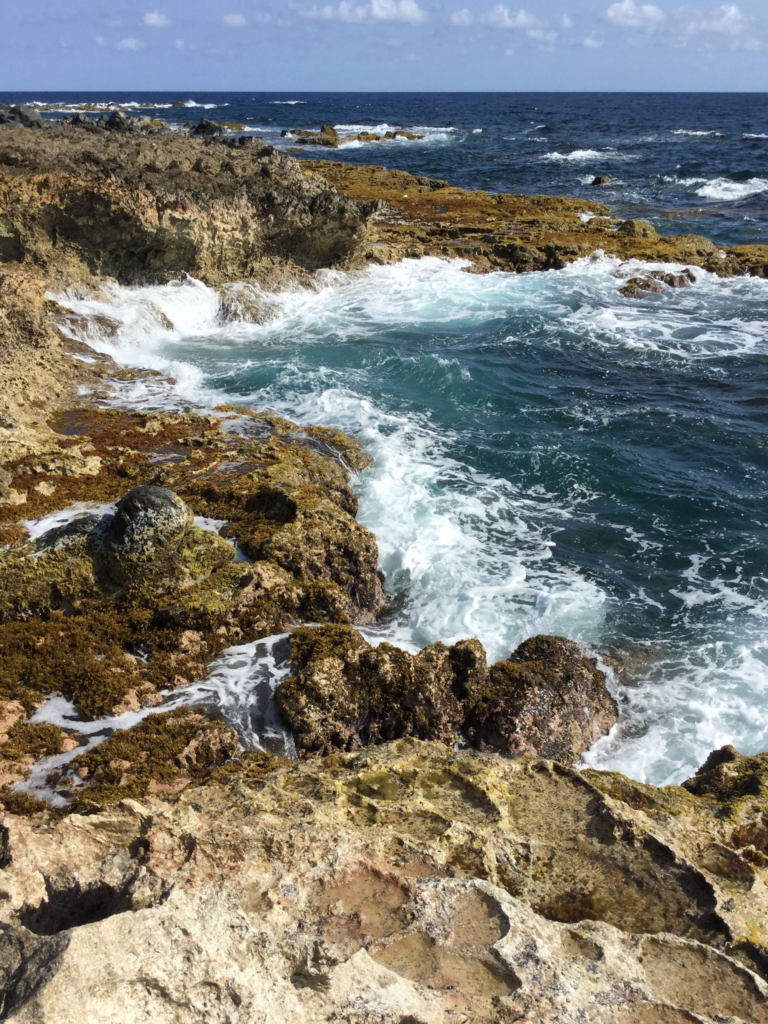
For years, Aruba’s best-known landmark was the Natural Bridge, a natural arch that stretched over 100 feet (30 m) and rose about 23 feet (7 m) above the water. It collapsed in September 2005. A smaller arch nearby, known as the Baby Bridge, is still there, and the coastline around it shows how hard the surf hits this side of the island.
Safety: the north coast isn’t for swimming. Visitor guidance for Arikok strongly discourages swimming in the park’s bays because of strong currents. Keep a safe distance from rock edges, especially when spray is breaking over them. For more on this side of the island, see our north coast guide.
Stop 5: Casibari or Ayo rock formations
Heading back inland, most tours stop at one of two boulder fields in the island’s interior.
- Casibari is a pile of huge tonalite boulders just off the main road to Santa Cruz. Paths and stone-cut steps climb through the boulders to a 360-degree view at the top, and some passages are narrow enough that you’ll go single file. Aruba’s tourism authority also lists free Wi-Fi and a small bar and grill on site.
- Ayo is a heap of boulders near the village of Ayo, with rock art left by the Arawak, the island’s earliest inhabitants.
Check current opening hours and any fees before you go. Wear shoes with grip, because the rock can be slippery and some steps are uneven.
Stop 6: Hooiberg (optional)
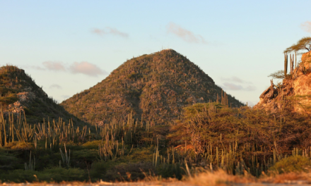
Hooiberg is the cone-shaped hill near the middle of the island. Its name is Dutch for “haystack.” It rises about 540 feet, and roughly 600 steps lead to the top, according to Aruba’s tourism authority. A 2022 count cited on Wikipedia put it at about 587 steps. Not every tour has time for the climb, but you’ll see the hill from almost anywhere on the route. Keep an eye out for goats and parakeets as you climb.
Stop 7: Arikok National Park (on longer tours)
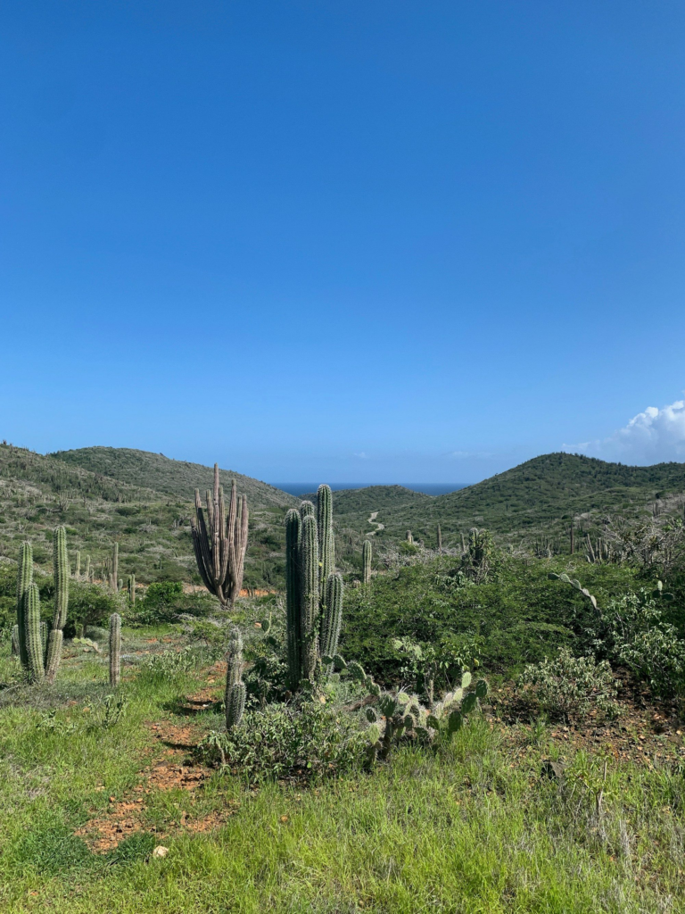
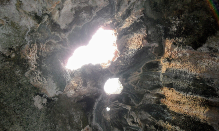
Full-day and 4×4 tours often continue into Arikok National Park, which covers nearly 20% of the island. Inside are caves with Arawak pictographs, the Boca Prins dunes, secluded bays and the Natural Pool, which, among vehicles, only jeeps and 4x4s can reach. Key details as of October 2026, from the Aruba Conservation Foundation:
- Conservation pass: $22 per adult, free for visitors under 17.
- Visitor Center at San Fuego: open daily 8:00 AM to 3:30 PM.
- ATVs, UTVs and motorbikes are prohibited in protected nature areas.
- Passes are sold at the San Fuego and Vader Piet entrances. Vader Piet closes at 3:00 PM.
- Residents of Aruba, Bonaire and Curaçao with ID get a discount.
Separately, visitor guidance notes that swimming at Boca Prins is strictly prohibited.
Our Arikok National Park guide covers the caves, trails and fees in full, and the Natural Pool guide explains how to get there.
Island tour stops at a glance
| Stop | Area | Entry (as of Oct 2026) | Don’t miss |
|---|---|---|---|
| California Lighthouse | Northwest tip | $5 to climb | The view from the top |
| Alto Vista Chapel | Noord hills | No fee listed | The quiet interior and the white cross |
| Bushiribana ruins | North coast | No fee listed | Stone walls against the sea |
| Natural Bridge area / Baby Bridge | North coast | No fee listed | Surf-carved arches |
| Casibari / Ayo | Interior | No fee listed | The 360-degree view; Arawak rock art at Ayo |
| Hooiberg | Center | No fee listed | Panoramic view from the summit |
| Arikok National Park | East | $22 adult pass; under 17 free | Caves and the Natural Pool |
Tips for a better island tour
- Go early. Mornings are cooler, and Lonely Planet recommends arriving early in Arikok to beat the tour crowds.
- Wear closed shoes. Flip-flops are miserable on the rocks at Casibari, Ayo and the north coast.
- Protect your gear. Open jeeps and UTVs get very dusty, so bring a buff or bandana and a bag for your phone. Our UTV packing list has the full rundown.
- Carry water and sunscreen. Average highs range from the mid-80s to about 90°F all year, according to Weather Spark. Use a reef-safe, oxybenzone-free sunscreen. Aruba has penalized the import, sale and production of sunscreen containing oxybenzone since July 2020.
- Leave nature as you find it. Arikok’s rules bar you from bothering, taking or feeding any plants or animals.
Short on time? An island tour pairs well with an afternoon on the beach or a sunset sail. See our best tours in Aruba roundup for more ideas.
FAQ
How long does an Aruba island tour take?
A loop of the northwest and north coast landmarks fits into a half day. Tours that add Arikok National Park, the Natural Pool or the south of the island usually take a full day.
Can you still see the Natural Bridge in Aruba?
The original Natural Bridge collapsed in September 2005. A smaller arch nearby, the Baby Bridge, still stands, and the coastline around it is a regular stop on island tours.
Can you climb the California Lighthouse?
Aruba’s tourism authority says yes: as of October 2026 it lists a $5 admission fee, no reservations required, and hours of 9:00 AM to 7:00 PM daily. Check current status before you go.
Do island tours go into Arikok National Park?
Some do. Jeep and 4×4 tours can enter the park. ATVs, UTVs and motorbikes are prohibited in its protected nature areas, so tours in those vehicles stay outside.
Is it safe to swim on the north coast of Aruba?
No. The north and east coasts have rough water and strong currents, and swimming at Boca Prins is strictly prohibited. Save swimming for the calm west and south coast beaches.
Sources
- California Lighthouse – Aruba Tourism Authority
- California Lighthouse – Wikipedia
- Alto Vista Chapel – Aruba Tourism Authority
- Alto Vista Chapel – Wikipedia
- Bushiribana Gold Mill Ruins – Aruba Tourism Authority
- Bushiribana Ruins – VisitAruba
- Natural Bridge – VisitAruba
- Casibari Rock Formations – Aruba Tourism Authority
- Ayo Rock Formations – Wikipedia
- Along the Northwest Coast in Aruba – Frommer’s
- Hooiberg – Aruba Tourism Authority
- Hooiberg – Wikipedia
- Experiences and Parke Nacional Arikok – Aruba Conservation Foundation
- Aruba Conservation Foundation – visitor center hours
- Arikok National Park in Aruba, An Introduction – Boardwalk (Feb 2025)
- Arikok National Park – Aruba Tourism Authority
- Guide to Arikok National Park – Lonely Planet
- Climate and average weather year-round in Oranjestad – Weather Spark
- Aruba officially bans plastics and oxybenzone – VisitAruba